Parker Franke · 9 October 2026
Linking Erosion Patterns and Flood Cycles to Refine Volunteer Trail Protocols in Protected Woodlands
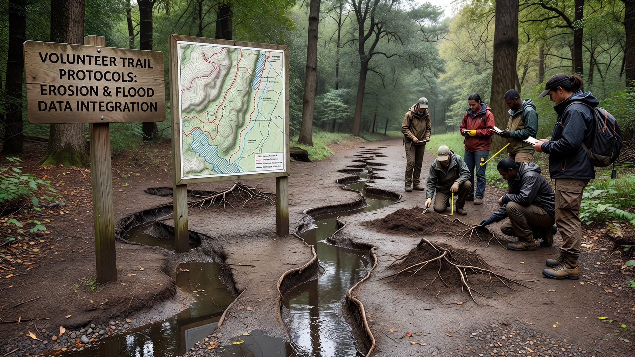
Protected woodlands face ongoing challenges from erosion patterns that interact with seasonal flood cycles, and these interactions shape how volunteer groups approach trail maintenance. Data collected across multiple sites shows that surface runoff during peak flood periods accelerates soil loss on slopes, while repeated dry spells between cycles compact trail surfaces and create channels that direct future water flow. Researchers tracking these variables over several years have documented how specific erosion signatures, such as rill formation and sediment deposition zones, align with historical flood records to predict high-risk segments of trail networks.
Erosion Patterns and Their Measurement
Studies conducted by the US Geological Survey reveal that erosion rates in temperate woodland settings average between 2 and 8 millimeters per year on trails with moderate foot traffic, yet rates climb sharply when flood events exceed the 10-year recurrence interval. Volunteers who map these patterns use simple tools including pin flags and laser levels to record changes at fixed intervals, and the resulting datasets feed directly into seasonal work plans. Observers note that trails oriented perpendicular to prevailing wind and rain directions experience greater lateral cutting, whereas those aligned with natural contours accumulate sediment that later becomes mobile during the next high-water period.
Flood Cycles and Data Integration
Flood cycles in protected woodlands follow patterns influenced by regional precipitation trends and upstream land conditions, with peaks typically occurring in late autumn and early spring. Integration of gauge data with trail condition reports allows coordinators to identify stretches where water backs up against roots or compacted soil, creating temporary ponds that soften trail edges and promote slumping. One study revealed that sites monitored for both erosion and flood frequency showed a 35 percent reduction in major trail failures after protocols shifted from reactive repairs to preemptive reinforcement timed just before expected cycle peaks.
Updating Volunteer Protocols
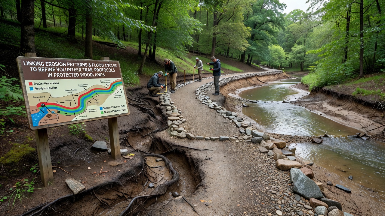
Refined protocols now require volunteers to log erosion indicators such as exposed roots, undercut banks, and sediment fans alongside flood stage readings from nearby streams. In October 2026, several woodland management districts introduced revised checklists that incorporate satellite-derived soil moisture maps, enabling crews to prioritize stabilization work on segments where erosion and flood data overlap most strongly. These updates emphasize modular techniques including water bars constructed from local stone and temporary brush barriers that slow flow without permanent alteration to the landscape.
Training sessions for new volunteers now include review of historical flood maps overlaid with erosion surveys, and participants practice identifying micro-topography features that signal impending channel migration. According to records maintained by Environment and Climate Change Canada, similar data-driven approaches in comparable northern forests have extended the functional lifespan of volunteer-maintained trails by an average of four seasons before major reconstruction becomes necessary.
Case Examples from Monitored Sites
At one monitored woodland, volunteers documented that a 40-meter trail section experiencing repeated cross-slope flooding developed a persistent erosion gully measuring 18 centimeters deep within two flood cycles. After the team installed a series of low-profile check dams keyed into the existing grade, subsequent events deposited sediment rather than removing it, and trail width remained stable through the following winter. Another site demonstrated that adjusting patrol schedules to occur immediately after flood recession allowed crews to clear debris before it redirected water onto adjacent slopes, reducing secondary erosion by measurable amounts in the next season.
Conclusion
Linking erosion pattern analysis with flood cycle forecasting provides a practical framework for adjusting volunteer trail protocols in protected woodlands. Continued collection of site-specific measurements supports incremental improvements that maintain access while limiting cumulative environmental impact, and the approach scales across different woodland types when local data sources remain accessible to volunteer coordinators.