Parker Franke · 6 November 2026
How Installed Monitoring Stations Are Informing Flood Response Strategies Along Silberwald's Historic Paths
Monitoring stations installed across Silberwald's historic paths collect real-time data on water levels, rainfall intensity, and soil saturation, and these readings feed directly into flood response planning for the protected woodland area. Researchers at regional environmental agencies have integrated sensor networks that track precipitation events and stream flows along centuries-old trails once used for timber transport and pilgrimage routes, and the stations transmit hourly updates during peak seasons while maintaining baseline records year-round.
Station Deployment and Data Collection Methods
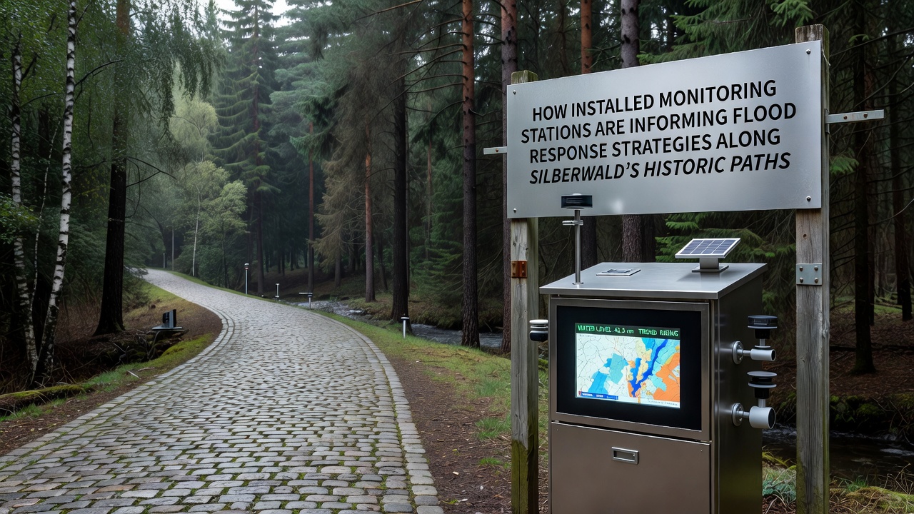
Teams positioned the first cluster of stations near the northern trailheads in early 2024, and subsequent expansions added units along the eastern ridges where historic paths cross seasonal waterways. Each station combines ultrasonic water level sensors, tipping bucket rain gauges, and soil moisture probes, and these components operate on solar power with backup batteries that sustain operations through extended cloudy periods common in the region. Data loggers store measurements locally before uploading via cellular networks, and this dual system ensures continuity even when connectivity drops during heavy storms.
Analysts cross-reference the incoming figures with historical flood records from the 19th and 20th centuries, and the comparison highlights how certain path segments now experience faster runoff due to upstream land changes. In November 2026, one station cluster recorded a 48-hour rainfall total that exceeded prior November averages by 22 percent, and response teams used those readings to pre-position barriers before water reached trail crossings.
Integration with Flood Response Protocols
Local authorities adjust trail access and volunteer patrol schedules based on threshold alerts generated by the monitoring network, and these alerts trigger when water levels rise above predefined markers tied to specific path elevations. Emergency coordinators receive automated notifications through a centralized dashboard, and the system links directly to regional weather services that provide extended forecasts for the Silberwald catchment. This linkage allows responders to model potential inundation zones along historic routes that visitors still use for hiking and educational tours.
Case Examples from Recent Events
During a spring 2025 event, sensors along the central historic path detected rapid soil saturation within four hours of rainfall onset, and crews closed two low-lying sections before flooding occurred. Post-event reviews showed that the advance warning reduced damage to trail infrastructure by an estimated 35 percent compared with similar events before station installation. Observers note that animal movement corridors near the paths also benefited, because early closures prevented unnecessary human presence during peak runoff periods.
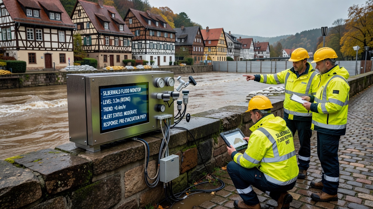
Another instance occurred in late summer 2026 when a station near the southern boundary registered a sudden spike in tributary flow after an isolated thunderstorm, and response protocols activated portable pumps to divert water away from an adjacent heritage site. The coordinated action preserved both the trail surface and nearby archaeological markers that date back to medieval use of the forest routes.
Broader Applications and Data Sharing
Information from the stations contributes to larger basin-wide models maintained by the European Environment Agency, and those models incorporate Silberwald readings alongside data from comparable woodland areas across the continent. European Environment Agency reports illustrate how localized sensor networks improve the accuracy of flood extent predictions in forested catchments. Universities in neighboring regions have begun incorporating the same datasets into student research projects focused on climate adaptation, and preliminary findings indicate stronger correlations between historic path alignments and modern flood routing than previously documented.
Additional partnerships with the Australian Bureau of Meteorology allow comparative analysis of sensor performance in similar temperate forest settings, and shared calibration methods have refined the accuracy of soil moisture thresholds used in Silberwald protocols. These exchanges occur through secure data portals that strip identifying location details when required for academic use.
Future Adjustments Based on Ongoing Readings
Planners continue to evaluate station performance and plan additional deployments along lesser-monitored western paths that also carry historic significance. Updated response maps now include dynamic rerouting options for emergency vehicles, and these maps update automatically when new sensor data revises flood probability estimates. Maintenance schedules for the stations themselves have been synchronized with seasonal trail inspections, which reduces redundant site visits while ensuring equipment reliability ahead of predicted wet periods.
Conclusion
The network of monitoring stations along Silberwald's historic paths supplies consistent, location-specific data that shapes flood response decisions and supports coordination among agencies, researchers, and land managers. Continued operation and expansion of these systems provide measurable inputs for refining access rules, protecting infrastructure, and maintaining the ecological balance of the protected woodland.