Jonas Schmitt · 25 September 2026
Connecting Pollution Data With Historical Landmarks to Guide Access Decisions in Protected Woodlands
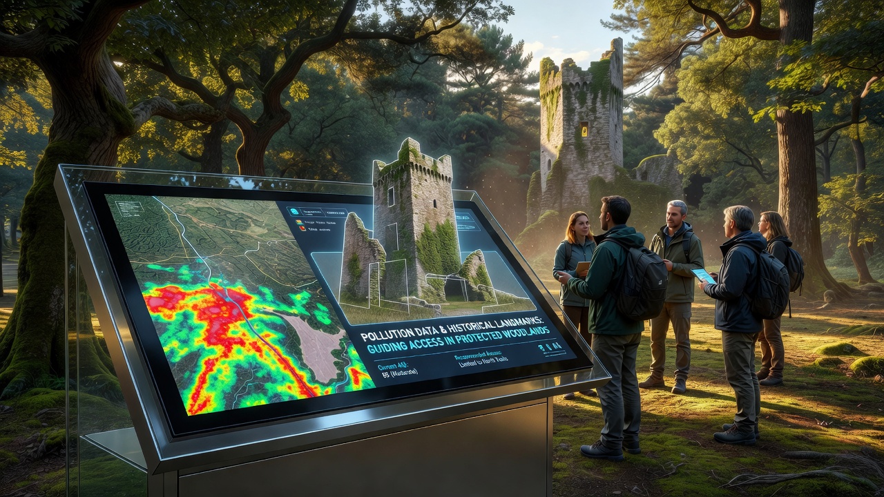
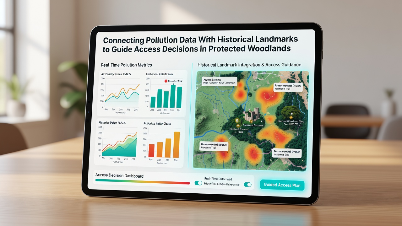
Protected woodlands around the world now integrate real-time pollution readings with mapped historical landmarks to determine trail access and visitor limits. Monitoring stations track particulate matter, nitrogen oxides, and ground-level ozone while databases record locations of old stone structures, ancient boundary markers, and preserved archaeological sites. When combined these two data streams produce dynamic access rules that adjust daily or seasonally. Environmental agencies began testing the approach in 2023 after several protected areas reported both rising air pollution levels and visitor pressure on fragile historical features. Sensors placed at 200-meter intervals feed data into central platforms that overlay pollution concentrations on geographic information system layers containing landmark coordinates. Thresholds trigger automatic restrictions when pollution exceeds set limits near sensitive sites.Data Collection Methods in Woodland Settings
Continuous monitors record hourly averages for key pollutants while portable units supplement fixed stations during peak visitor months. Historical landmarks receive precise GPS tagging through surveys conducted by national heritage organizations. These landmarks serve as reference points because many occupy elevated or sheltered positions that influence local air flow and pollutant accumulation.
Researchers cross-reference sensor outputs with meteorological records to isolate pollution sources such as nearby agricultural burning or industrial emissions. The resulting maps highlight corridors where pollution drifts toward landmarks and where access corridors should shift accordingly. In September 2026 several European monitoring networks plan to release updated datasets covering five years of paired pollution and landmark observations.
Integration of Historical Records With Environmental Metrics
Land management authorities match landmark inventories maintained by cultural heritage bodies with pollution databases maintained by environmental agencies. One project in North America linked 19th-century logging camp foundations to nearby ozone hotspots identified through satellite and ground readings. Access trails leading past those foundations now close when ozone levels climb above 70 parts per billion for more than four consecutive hours.
Similar pairings occur in Australia where Aboriginal rock art sites sit within eucalyptus woodlands monitored for particulate spikes during bushfire season. When sensors detect elevated fine particles the system recommends rerouting visitors along alternate paths that avoid both the art locations and the highest pollution readings. The Australian Department of Climate Change, Energy, the Environment and Water publishes quarterly summaries of these combined datasets.
Access Decision Frameworks
Decision protocols translate the combined data into practical rules. Green status allows full access, yellow status limits group sizes, and red status closes specific segments. Algorithms weigh both pollutant concentrations and the cultural significance score assigned to each landmark. Higher significance scores lower the pollution threshold needed to trigger restrictions.
Park staff receive automated alerts through mobile applications that display current status for each trail segment. Visitors encounter updated signage at entry points and digital notices on reservation platforms. The system logs compliance rates and feeds those figures back into model refinements.
Regional Implementation Examples
Protected areas in the Pacific Northwest of the United States apply the method to old-growth cedar groves containing preserved Indigenous village sites. Data from the United States Environmental Protection Agency air quality network shows seasonal spikes in wildfire smoke that coincide with peak tourism months. Landmark proximity calculations now determine temporary trail closures before smoke reaches the sites.
Canadian provincial agencies have adopted comparable protocols around historic fur-trade posts located in boreal forests. Nitrogen dioxide readings from nearby highways trigger access changes when levels approach landmark boundaries. Observers note that the combined mapping reduces visitor encounters with both elevated pollution and fragile archaeological features.
Conclusion
Linking pollution measurements to historical landmark positions supplies land managers with an objective basis for access rules in protected woodlands. The method relies on existing sensor networks, heritage inventories, and geographic information systems already in use across multiple countries. Continued data releases scheduled for September 2026 will allow further calibration of thresholds and mapping accuracy.